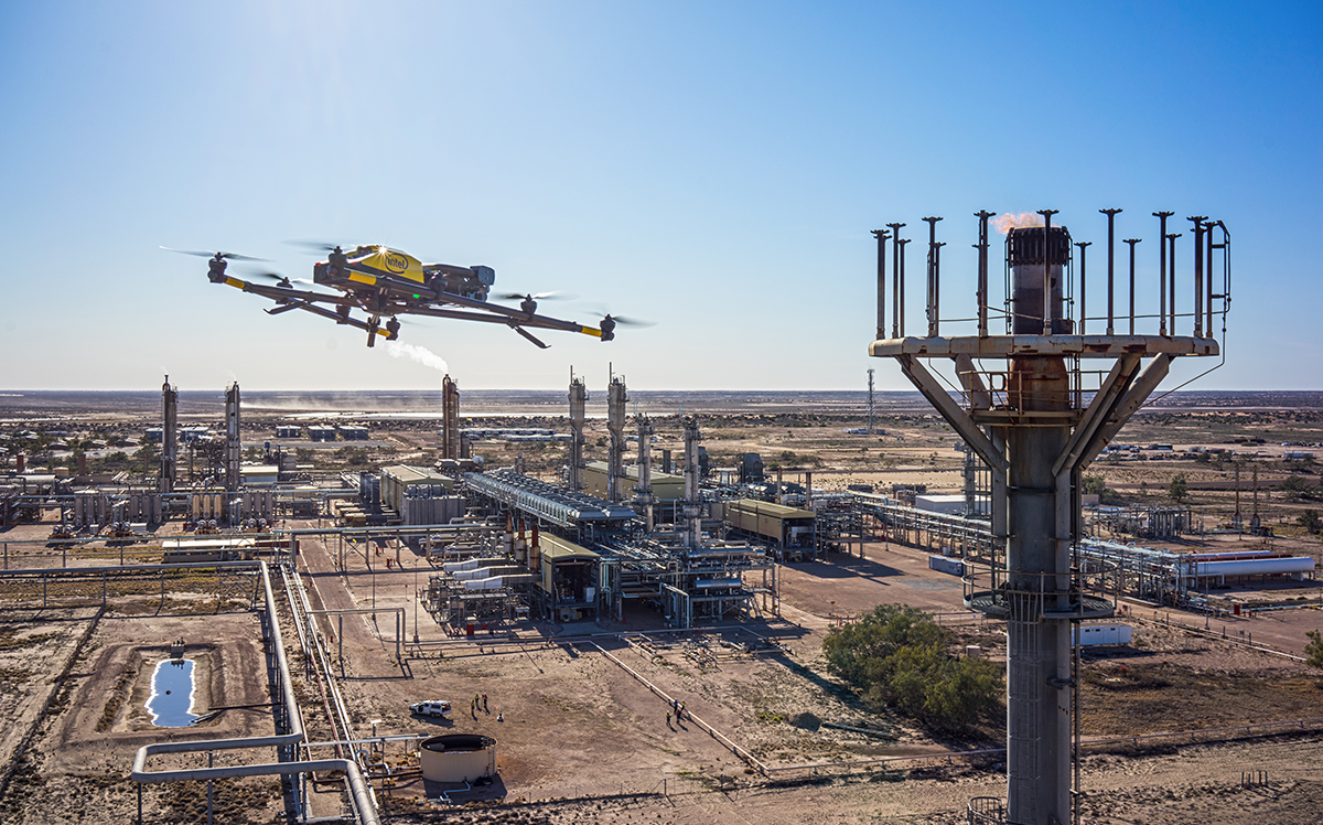
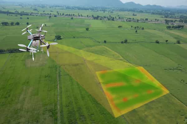
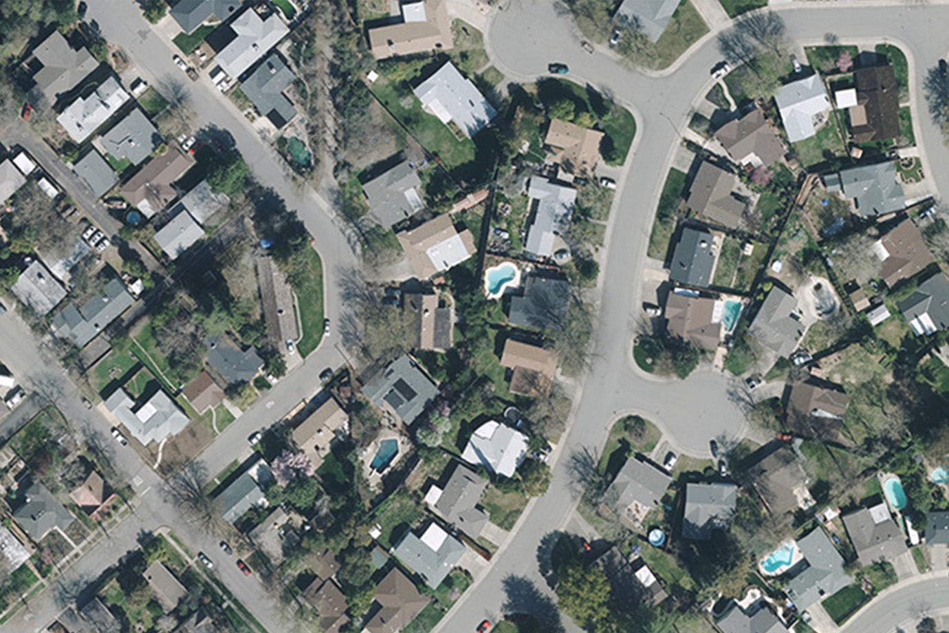
Topographical mapping
Topographic maps are detailed, accurate graphic representations of features that appear on the Earth’s surface. These features include: cultural: roads, buildings, urban development, railways, airports, names of places and geographic features, administrative boundaries, state and international borders, reserves.